Connecting the oceans
Communication through satellites is no big news. Though, with Sternula’s upcoming satellite network, a revolution in the maritime sector is about to happen. Sternula is launching its first satellite on December the 18th
For Sternula it is all about creating connectivity and accessibility when it comes to satellite networks in the maritime sector. Sternula’s vision is to build a platform, which is simpler, cheaper, and more standardized than the systems already out there. The key to this is the new AIS 2.0 standard, and Lars Moltsen, CEO at Sternula, can proudly say that Sternula is the world’s first commercial provider of satellite-based AIS 2.0 connectivity.
- Right now, all ships are required to have an AIS unit onboard for tracking and identification. By implementing connectivity over the AIS, you will reach all ships globally with a minimum of investment, states Mr. Moltsen.
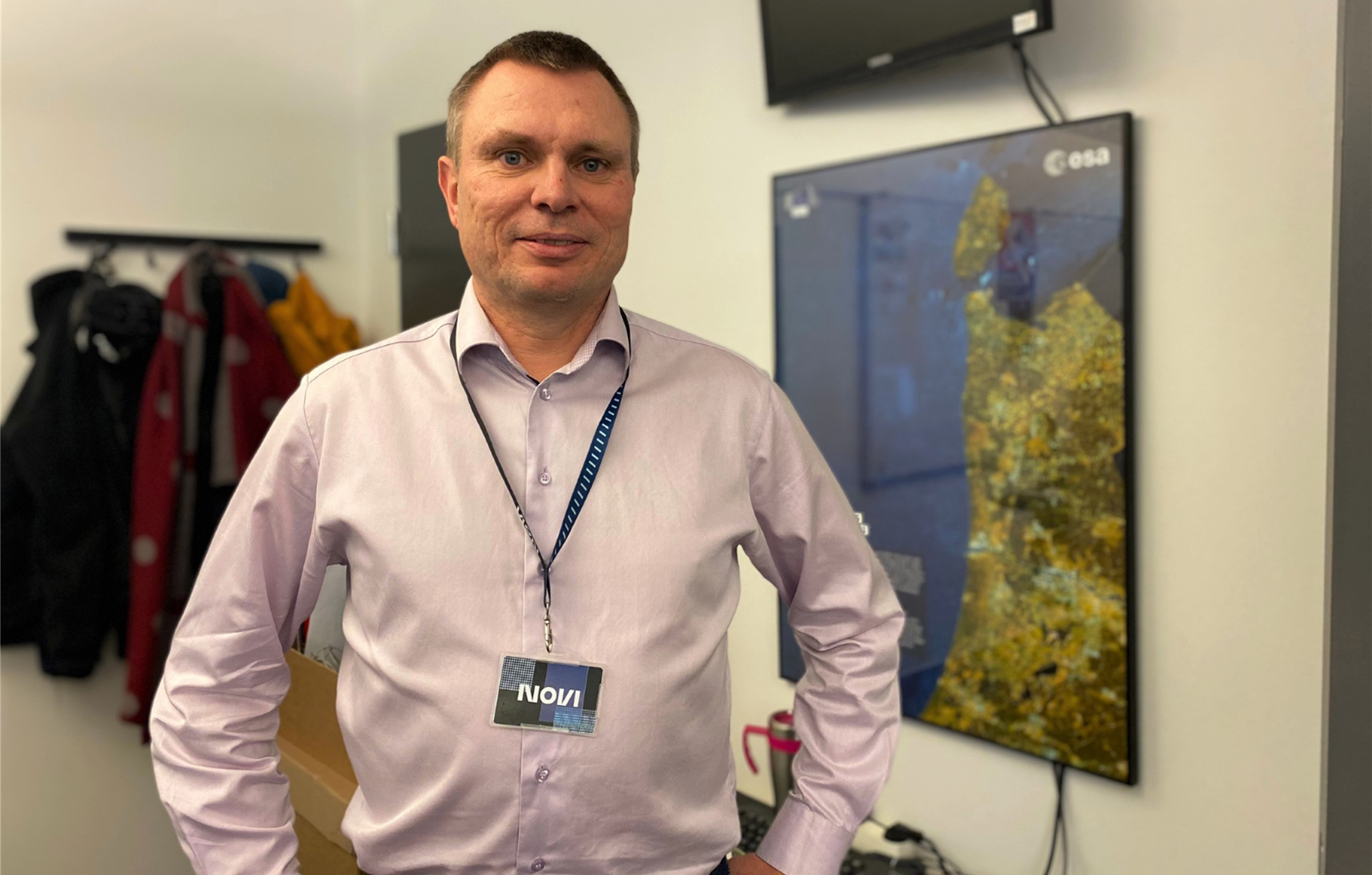
Lars Moltsen, CEO, Sternula
Foto: SternulaThe AIS system uses VHF frequencies and requires only a low-cost antenna, so it is much cheaper than the traditional satellite networks. Sternula’s solution will not provide very high data rates, but will be available anywhere, and it is perfect for a range of digital services related to e.g. port calls and engine monitoring. The AIS 2.0 technology is also known as the VHF Data Exchange System (VDES).
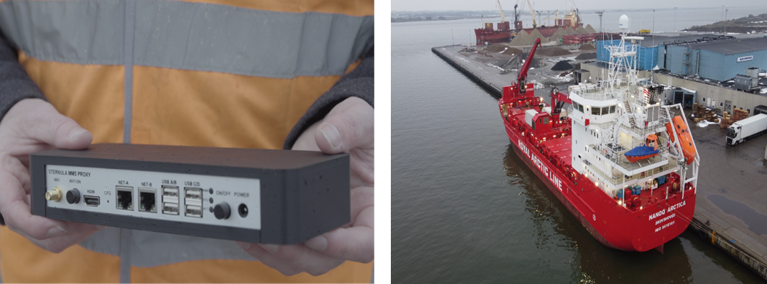
The device will have the same interfaces as you will find on the ships in the coming two or three years.
Family, friends, and professionals - a part of the journey
Sternula is located in Aalborg, which over the past 25 years has become a Danish space technology cluster. It started with Aalborg University’s involvement in the Ørsted satellite in the 1990’ies. Since then, 5 student satellite projects at the university have resulted in a number of space start-ups, and today the city hosts two satellite factories and many specialized space companies. Lars Moltsen has been working in the local telecom industry for many years. At first he was in Nokia, before starting his own consultancy company and later the telecom software company, 2operate. Now he is in charge of Sternula, which is about to be Denmark’s first commercial satellite operator.
- In 2019, we received an R&D grant of 20 million DKK from Innovation Fund Denmark to develop the technology for our first satellite and demonstration services in collaboration with 5 partners. Today, we have 58 investors that in total have invested 11 million DKK into our business. With these investments we have been able to build a strong setup, elaborates Lars. And the investors? A huge mix of family, friends, and professional investors. As Mr. Moltsen describes it: - Well you can say that we have investors at many different ends of the spectrum. One of our investors is for example the owners of a local carpenter company. They are good friends, but they also want to see growth and a return on their investment.
60 satellites by 2028
For Sternula there is a very ambitious plan for the coming years.
- In December 2022 our first satellite, which has a size that matches a shoebox, will be sent into orbit. It takes the satellite only 95 minutes to go around the earth, explains Lars - In 2024 the plan is to send out four more satellites, then in 2026 another 16 satellites, and in 2028 the final 40 will launched. That means that by 2028 Sternula will have a constellation of 60 satellites in space. The first satellite will probably be out of the constellation by then as it has a planned life span of five years.
Multiple advantages and a dual-use system
With the frequencies allocated internationally for the AIS 2.0 technology, it has 30 times more data capacity than the old AIS system. This is not a lot, but it will be enough for a range of new digital systems and services for the maritime industry and defence sector.
- It is commonly known that the old AIS system can be spoofed by hostile actors, and we have seen that a couple of times in Denmark, explains Lars – The new system can help resolving some of the flaws of the old technology. This will help the Danish Defence setting up better surveyance of both the inner Danish waters and the Arctic oceans around Greenland.
Another good example of a more civilian use case for Sternula’s satellite network is the broadcast of weather bulletins and ice charts by the Danish Meteorological Institute (DMI). DMI is a partner in the ongoing project supported by Innovation Fund Denmark, and they will be first in line to gain experiences with the new technology.
- DMI has been developing a new AI-based system for automated production of ice charts, which means they have updated charts several times per day. But this is no help to the sailors if there is no effective way of getting it out on the ships. Since our system is very cheap, it will soon be on even the smallest fishing vessels. This is exactly what the maritime industry has been waiting for, says Lars Moltsen.
The next step for Sternula is launch of their satellite, set to take place on December the 18th.
About
STERNULA
- … offers global connectivity (VDE-SAT) for both maritime authorities and industry.
- … is the world’s first commercial provider of affordable, secure, and global satellite operators.
- … collaborates with the Danish Maritime Authority on different projects.